
Under the ice, a vast landscape wakes. Scientists have traced more than 300 giant canyons that act like secret corridors for water, heat, and salt. Their layout, depth, and links could reset how we think about ocean circulation and future sea levels. The new atlas pulls scattered clues into one clear map, built from years at sea and hard-won sonar lines. It turns Antarctica from a blank edge on charts into a living system whose choices echo far beyond the pole.
Beneath Antarctica, a canyon atlas takes shape
High-resolution bathymetry from international cruises finally stitches a single, standardized map. Multibeam sonar, difficult to run under floating shelves, now reveals continuous canyon tracts around the continental rim. The atlas, published in Marine Geology by teams at the University of Barcelona and University College Cork, stands as the first continent-wide synthesis of these features.
Many troughs dive beyond 4,000 meters, rivaling Earth’s largest submarine valleys. These structures focus sediment and nutrient flows, and they connect the shelf to abyssal plains. Scientists long suspected such pathways, yet patchy coverage and harsh weather left gaps. The new compilation fills them with vetted depths and coherent geometry.
Researchers emphasize what the map unlocks: testable links between canyon form and ice dynamics. Dr. David Amblàs notes that these systems are widespread and structurally organized, which fixes past snapshots into a living framework. With this view, Antarctica becomes legible at the scale where currents, glaciers, and bedrock interact.
How canyon highways move water, heat, and life around Antarctica
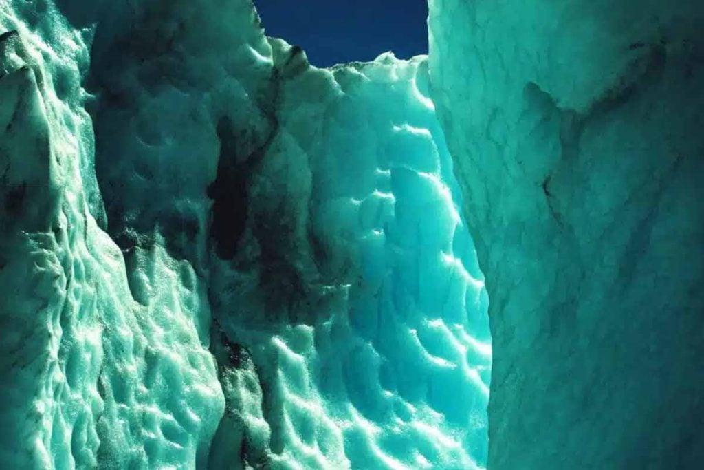
Canyons act like switchyards. Dense, salty shelf water descends along their axes, ventilating the deep Southern Ocean and feeding the global overturning circulation. As that brine sinks, it transports carbon and oxygen, while gravity and slope steer the flow through bends, steps, and levees carved over millions of years.
Transport is not one-way. Warm, slightly deeper layers can ride the same corridors upslope and slip beneath floating ice shelves. That contact accelerates basal melt, thins buttressing ledges, and weakens grounded glaciers upstream. Small shifts in pathway depth or roughness can change how far and how fast that heat travels.
Ecology threads through the same architecture. Canyons funnel organic particles, fertilize shelf breaks, and seed hotspots for krill and fish. Because the new atlas clarifies where conduits concentrate exchange, it helps align ocean models with observed productivity—and points to places where Antarctica may feel warming first.
A tale of contrasting margins and shifting ice
The eastern half of Antarctica shows branched, dendritic systems with many tributaries feeding main trunks. That pattern hints at long stability: persistent ice cover, sustained sediment supply, and slow incision. Channels interlock like rivers, which suggests repeated flow under comparable boundary conditions across geological time.
The western margin looks different. Shorter, steeper tracts and straighter profiles match a more episodic glacial rhythm. This geometry aligns with modern observations that the west sector’s ice is livelier, more sensitive to warm incursions, and quicker to retreat when buttressing weakens. Form, here, mirrors vulnerability.
Those contrasts matter for history and for forecasts. Dr. Alan Condron of Woods Hole frames the value simply: canyon structure helps reconstruct former ice flow and refine forward simulations. As models ingest real seabed relief instead of smooth plains, they better capture thresholds that lead to rapid loss.
Why this map changes projections for seas and cities
Previous models often treated the shelf as bland, which blurred heat routes and sediment traps. The new atlas encodes shape, depth, curvature, and spacing, so simulations can honor where currents accelerate, stall, or split. According to the Marine Geology paper, reproduction of present-day circulation improves when canyons guide boundary exchanges.
That fidelity affects timing. If warm layers reach grounding zones through a few deep gates, melt can jump, not creep. Conversely, if chilled brines drain efficiently, ice shelves may stabilize for a time. The atlas turns those unknowns into parameters that can be tested against observations and reanalysis fields.
Sea-level risk hinges on that difference. Faster discharge of inland ice means earlier contribution to coastal flooding. Slower coupling buys adaptation time. Policymakers need both ranges. By placing corridors precisely, the map tightens uncertainty bands and helps planners translate physics near Antarctica into numbers for harbors far away.
What comes next for mapping, models, and monitoring
Coverage still has holes. Under-ice shelf cavities remain difficult to sound, and winter seas limit ship time. Autonomous vehicles and moored profilers can extend reach, while satellite gravimetry and altimetry constrain mass change above. Together, these streams will refresh the atlas as conditions evolve.
Data assimilation is the next leap. Operational models can ingest canyon-aware grids, then compare predicted exchanges with floats, gliders, and seals carrying sensors. Where mismatches persist, teams can target new surveys, close gaps, and update geometry. The feedback loop keeps projections honest and responsive.
Communication matters too. Clear visuals—like the atlas’s color-coded tracts and shelf depths—help coastal communities grasp scale without jargon. Framing the science as moving water along real pathways makes cause and effect tangible, which sustains attention as the stakes near Antarctica keep rising.
Looking ahead as a clearer seafloor sharpens global choices
The canyon network transforms a vague rim into a working blueprint for circulation, melt, and risk. It compresses years of scattered cruises into a tool that researchers, modelers, and coastal planners can use today. With Antarctica mapped in this new light, the world can weigh choices with sharper, more local detail.